
by Brad Boysen | Aug 19, 2021
LWS provided survey services, including aerial LiDAR and Imagery of this 1,800-acre solar site. This project is ongoing. By the end of the project, LWS will deliver over 2,000 acres of LiDAR data to be used for project design and an Orthomosaic Image to be used for...

by Brad Boysen | Aug 19, 2021
LWS performed boundary surveys for a 6-mile by 9-mile, approximately 30,000-acre wind farm in...
by Brad Boysen | Aug 19, 2021
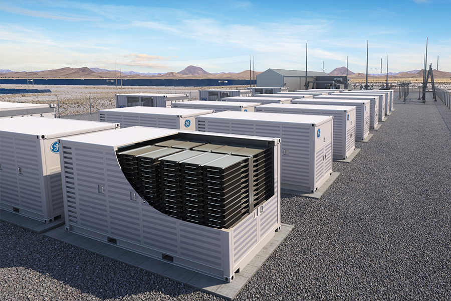
LWS provided surveying services for an ALTA Survey for a 150-acre battery storage facility near El Centro, California, including photogrammetry acquisition, aerial imagery, topographic survey, bare earth model 1’ contours, planimetrics, and boundary...

by Brad Boysen | Aug 19, 2021
LWS provided surveying services for LiDAR acquisition, classified point clouds, bare earth model contours, and existing vs. design surface comparison for this 62,000-acre wind farm located near Tampa, Kansas. LWS delivered LiDAR Data, 1’ Contour File, Metadata...

by Brad Boysen | Jul 16, 2021
Lot Survey and Boundary Resolution for 4814 and 4818 Lord Road, San Antonio, TX 78220 A residential survey was performed for 4818 Lord Road, as well as a boundary determination on the adjoining vacant lot at 4814 Lord Road. A minor boundary dispute occurred between...